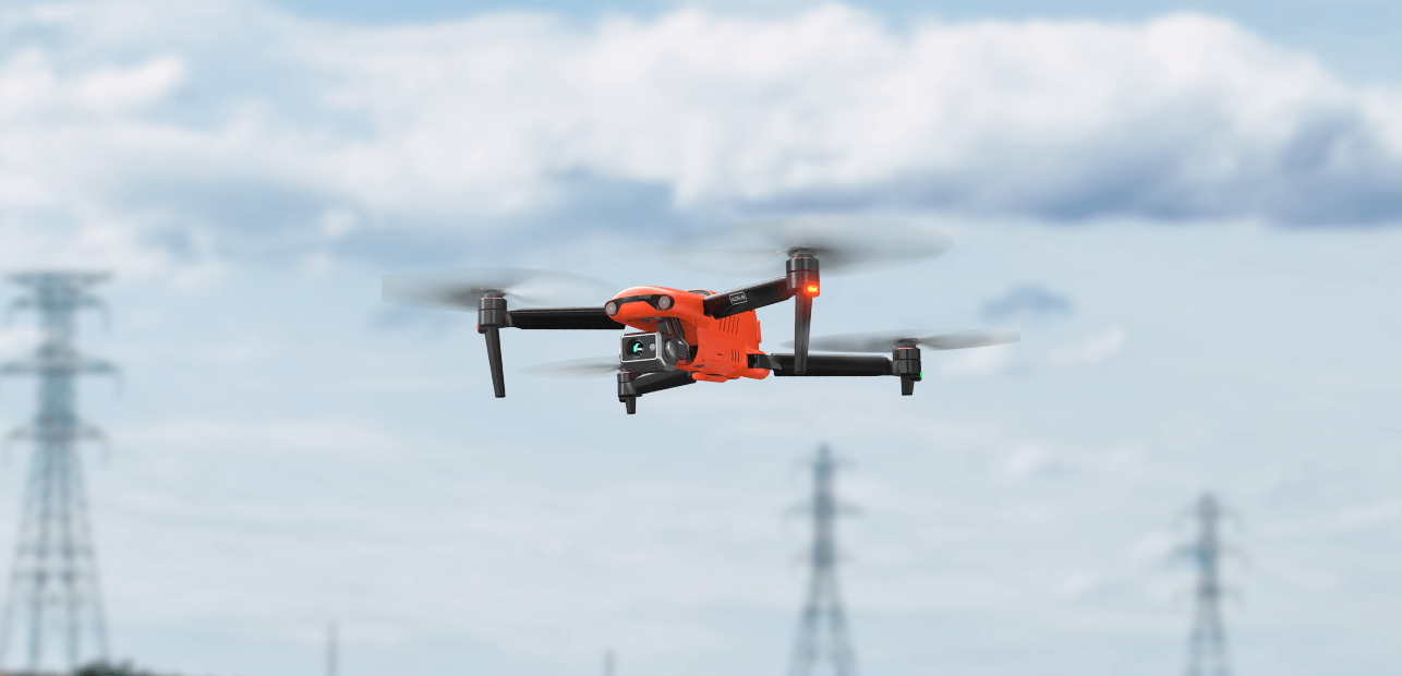
No GCP Required
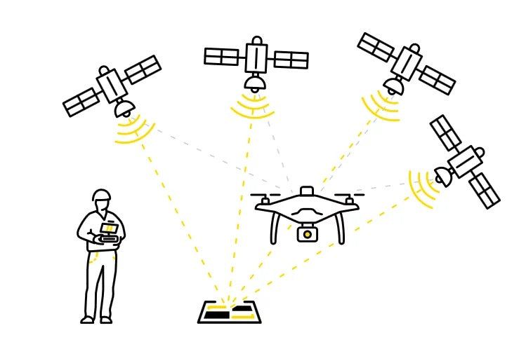
EVO II RTK Series V3 can connect to an NTRIP network and does not need GCPs to provide centimeter-grade accuracy.

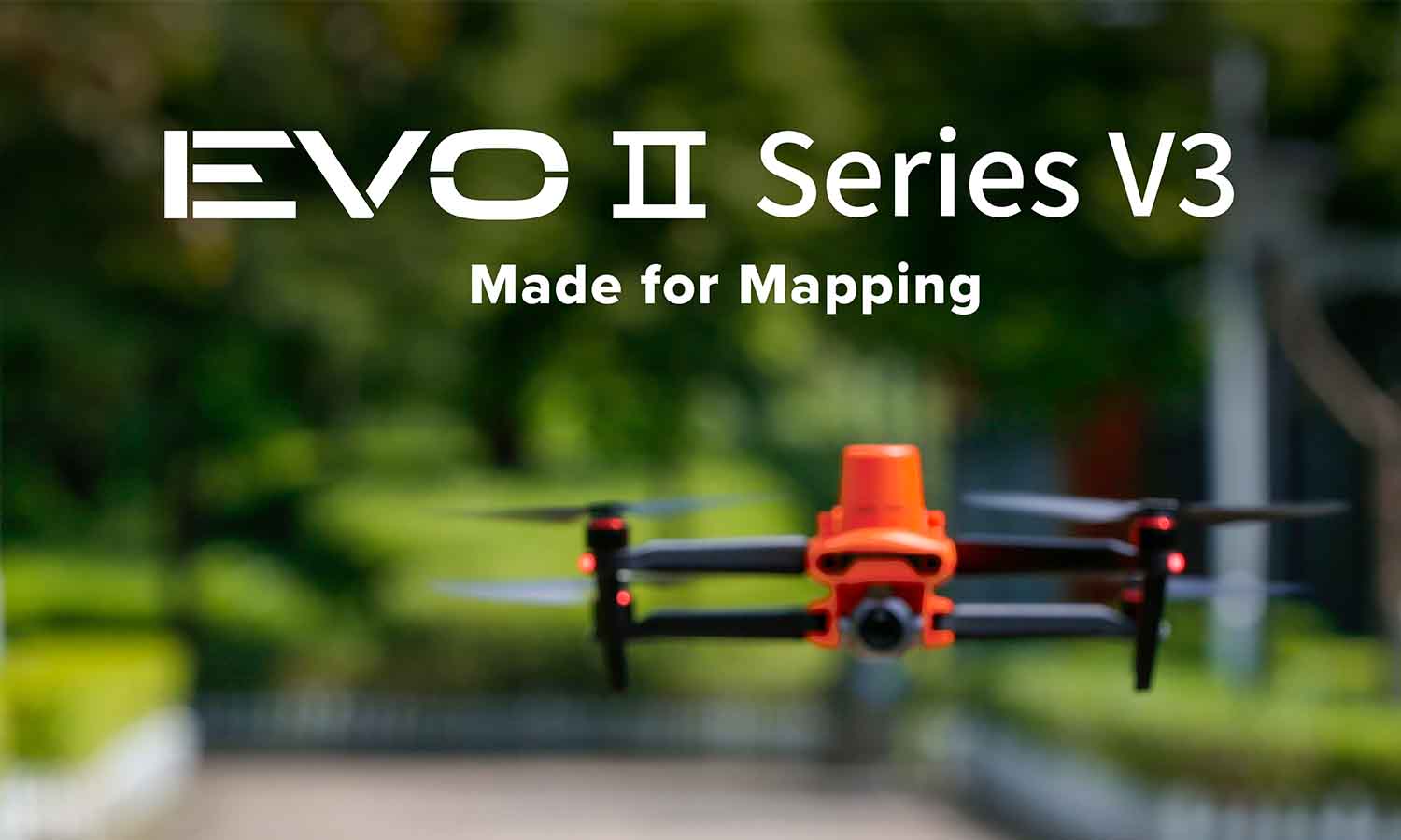
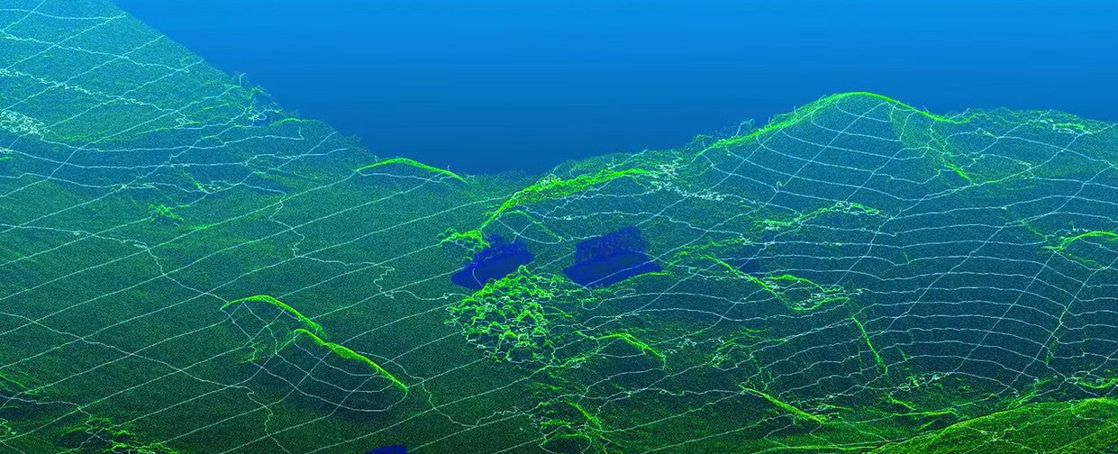
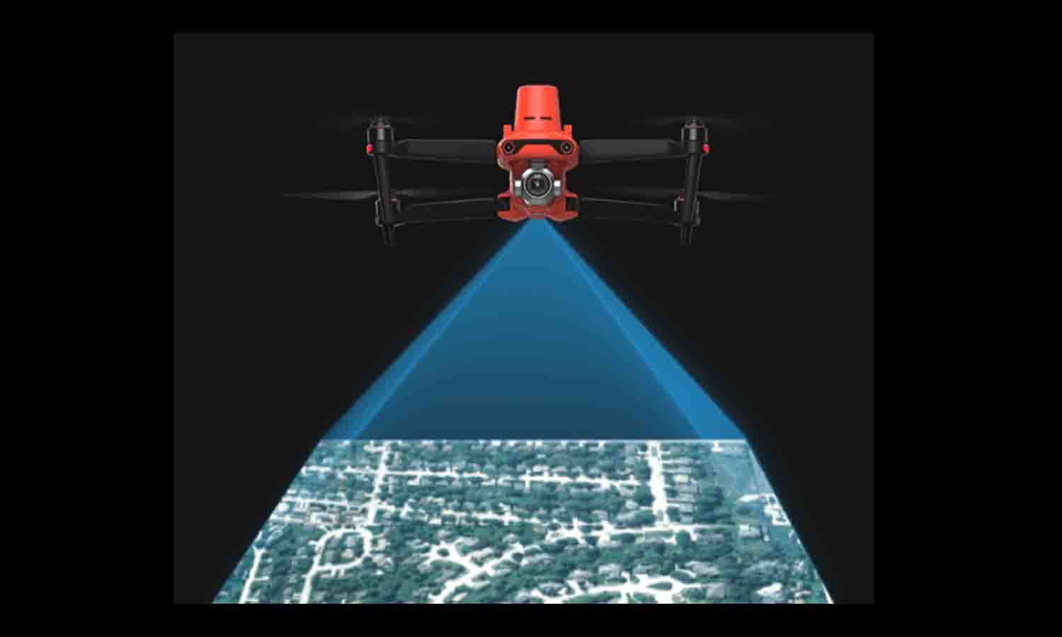
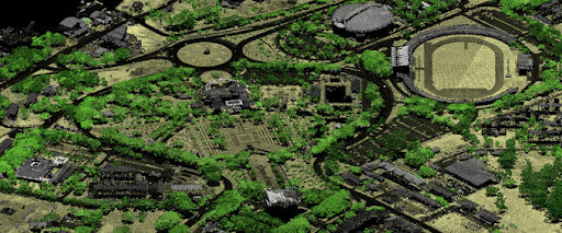
Mapping is a very common commercial use of drones. With its unique flight capabilities and aerial views, a mapping drone can help surveyors quickly collect large-area image data, and automatically map flat areas or three-dimensional models of buildings, greatly improving the accuracy and efficiency of mapping. It can be said that a good mapping drone relies on mature surveying and mapping systems and GPS technology for accurate data. Currently, drones with RTK modules are specialists in this field, which can achieve centimeter-level positioning accuracy and generate high-precision maps of a large area.
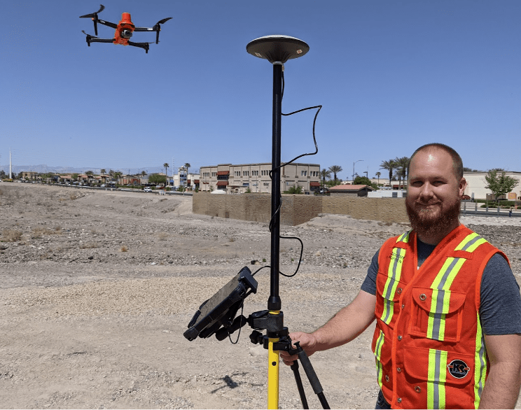
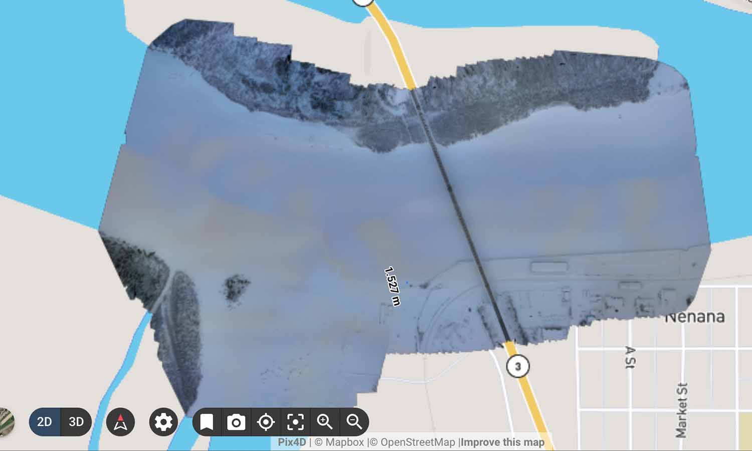
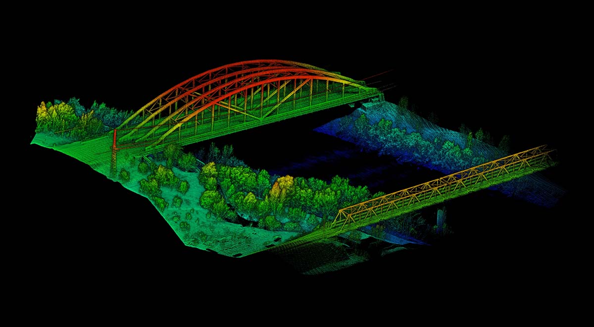
Mapping drones usually carry a combination of accessories such as high-resolution cameras, GNSS/RTK/PPK systems, multispectral and thermal sensors LiDAR sensors, autonomous flight planning, data processing software, etc., to plan flight paths, capture high-resolution images, provide high-precision positioning data, ensure systematic data collection and effective coverage of the survey area. The post-drone mapping software is an integrated software solution for stitching images, generating orthophotos, creating 3D models and analyzing collected data.
Mapping drones are now widely used in large-scale projects such as agriculture, construction and infrastructure, mining and quarrying, environmental monitoring, and urban planning to help precision agriculture, capture detailed data, conduct on-site surveys, monitor progress, and create 3D models of construction sites to create smart cities.
Mapping drones are powerful tools that provide accurate and effective solutions for a wide range of applications. Enterprises and organizations can enhance operational capabilities, improve decision-making, and save significant costs. The continuous advancement of drone technology continues to expand the capabilities and potential applications of mapping drones, making them an indispensable asset for many industries.
EVO II RTK Series V3 can connect to an NTRIP network and does not need GCPs to provide centimeter-grade accuracy.
EVO II RTK Series V3 supports all NTRIP-compatible base stations.