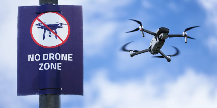
360° FPV drones combine dual-lens panoramic capture with immersive goggle control, enabling cinematic "shoot first, aim later" aerial photography. Leading products like Antigravity A1 and DJI Avata 360.
FPV with 360 Camera: What Speciality, Functions to Know


