


The rapid development of drone technology has brought many new opportunities and innovations to the urban planning and construction industries. As an efficient and flexible tool, drones play an important role in the urban planning and architectural design process. This article explores the use of drones in both areas and explains the benefits they bring.
How can drone technology positively contribute to urban planning and architecture?

In urban planning projects, drone data creates accurate 2D and 3D models that integrate seamlessly with local geographic information systems, helping teams visualize results. Drone image data can be applied to urban modeling, urban and rural classification, rivers, bridges, roads and other corridor surveying and mapping, accurate information models, help speed up urban construction, and improve information data.
What are the advantages of drones in the field of urban planning and Architecture?
The reason drone technology has been adopted so quickly in construction projects is that it has a number of compelling advantages. These include improved safety, cost savings, faster data collection, and real-time item and material tracking, among others.
 |
Centimeter-Level & High-Precision Positioning System No GCP Required | 8K 0.8" CMOS 50MP | 640*512 thermal imaging camera |
Check the price of Autel EVO II 640T RTK V3 on Autelpilot
Aerial Mapping and Imagery Acquisition
Drones can be equipped with high-resolution cameras and sensors, which can quickly acquire large-scale aerial images and geographic information data. In urban planning, drones can provide accurate and detailed terrain models and 3D reconstructions to help planners better understand the terrain, vegetation, building structures, etc. of an area. For architectural designers, drones can provide panoramic photos and aerial videos to help them better understand project sites and provide inspiration during the design process.
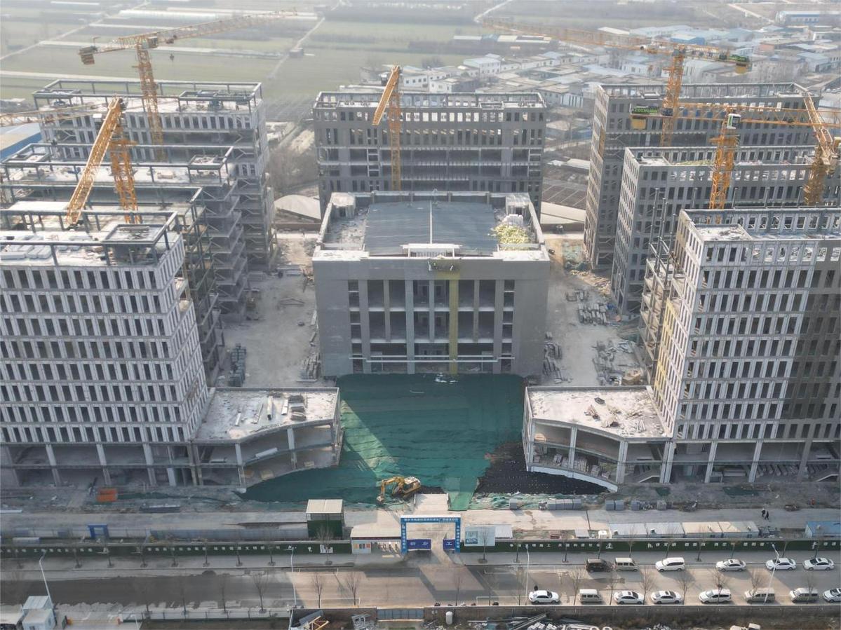
Building Construction Monitoring
Drones fly regularly and capture real-time images and video of construction sites. This allows project teams to track construction progress, monitor work quality, and resolve potential issues in a timely manner. Through the drone's bird's-eye view, monitoring personnel can more comprehensively assess the structure and overall status of the building to ensure the quality and safety of the project.
Environmental Impact Assessment

In urban planning and building design, drones can be used to collect environmental data and assess impact. For example, drones can detect air pollution levels with air quality sensors, or use thermal imaging cameras to assess the heat island effect. This information helps planners and designers develop environmentally friendly strategies in the early stages of a project and predict the impact of a project on the surrounding environment.
Building Inspection and Maintenance
Traditional building inspection and maintenance requires a lot of time and human resources, and has certain risks. Drones can conduct external inspections and capture high-definition images or video without the need for direct human access to hazardous areas. This non-contact method of inspection not only improves safety, but also improves efficiency and accuracy. Additionally, drones can be used to monitor the structural health of buildings, providing vital data for maintenance planning.
Urban Landscape Planning and Visualization

Drones can provide a new perspective and help planners and designers make better decisions in urban landscape planning. Through aerial photos and videos, they can better understand the topography, traffic flow and distribution of buildings in the area. In addition, drones can generate realistic virtual reality models, allowing people to experience and evaluate the look and feel of different planning options.
Summarize
Drones play a key role in urban planning and construction. They provide efficient, real-time and detailed data collection and monitoring means to help professionals make more accurate decisions. With the further development of drone technology, we can expect more innovative applications and solutions, bringing continuous progress and development to urban planning and architectural design.
Related More:
Advantages and Disadvantages of Construction Drones
Surveying and Mapping Drones | Spatial Planning Solutions
Drones Help Smart City Planning and Construction
Surveying and Mapping Drone | Engineering, Surveying And Construction


