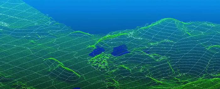
Autel Mapper APP Map Software

Due to its rapid deployment and centimeter-level accuracy, the Autel RTK drone provides the best assistance for surveying and mapping tasks. At the same time, Autel Robotics also launched the Autel Mapper APP, which will serve 2D Modeling and 3D model creation. Faster and more flexible image stitching and compositing.


