


EVO II Pro V3 6K Drone Footage: Rice Terraces
Rice terraces are works of art sculpted by humanity and nature. Viewed from the air, the crisscrossing lines and mirror-like water always deliver a breathtaking visual impact.
This time, we will explore the Longsheng Rice Terraces, dating back to the Yuan Dynasty, and see the captivating aerial photography opportunities presented by the green or golden wheat fields covering the rolling hills.
Using the Autel EVO II Pro V3, see how it captures the poetic beauty of this "fingerprint of the earth" for aerial photography enthusiasts and photographers.
What is Aerial Photography of Rice Terraces?
The terraced fields, winding and cascading down the mountainside, range in altitude from 300 to 1100 meters, with slopes reaching up to 50 degrees. The dramatic elevation changes and unpredictable weather of the terraced fields offer unique perspectives for aerial photography, but also present significant challenges for aerial photography enthusiasts and photographers.
The extreme contrast between light and shadow in aerial photography of terraced fields, the frequent dense fog and strong winds in the valleys, and the obstacles posed by dense power lines and trees all test the comprehensive performance of drones.

How to compose aerial shots of terraced fields with a drone?
1. Vertical Overhead Shot (90° Vertical View): Extracting Abstract Lines
Adjust the gimbal lens to a vertical downward angle (-90°) to increase the flight altitude. At this point, the terraced fields lose their three-dimensionality and transform into a pure geometric abstract painting.
Tip: Find areas where the water surface of the terraced fields reflects the sky's color. Use the curves formed by the ridges of the fields as leading lines in the frame, and intersperse one or two villages or pedestrians as visual focal points to increase the liveliness of the image.

2. Low-Altitude Front/Side-Backlighting with Wide-Range Shots: Enriching Spatial Depth
During the golden hour of early morning and late afternoon, use low-altitude, low-speed forward or oblique flight maneuvers.
Tip: Side-backlighting can outline the contours of each layer of rice ridges with a silky texture, creating a strong sense of spatial depth when combined with the undulating terrain.
3. Framing the Valley and Mist Foreground: Creating an Epic Atmosphere
The rice terraces are often accompanied by valley mist in the early morning. Raise the drone to the edge of the mist, using the nearby mist as the foreground, with the distant rice terraces appearing and disappearing in the mist.

Advantages of the Autel EVO II Pro V3 in Aerial Photography of Rice Terraces
The spring planting and irrigation season (April-June) is the most dreamlike time for the Longsheng Rice Terraces, with the water surface resembling countless shattered mirrors embedded in the mountains. In autumn (September-October), the landscape turns golden, creating a picturesque scene with the stilted houses and villages.
The Longsheng Rice Terraces are characterized by high mountains and deep valleys, with intricate interplay of light and shadow. In this field photography session on rice terraces, we used the Autel EVO II Pro V3 Camera Drone, whose hardware performance demonstrated a significant advantage in such complex lighting conditions:

1. 1-inch Large Sensor + Variable Aperture
When shooting rice terraces against the light, strong light can easily cause the image to appear washed out and banded. The Autel EVO II Pro V3 6K Drone features a 1-inch CMOS sensor with extremely high dynamic range. More importantly, it is equipped with an adjustable aperture of f/2.8 - f/11.
Practical Experience: In strong light, stopping down the aperture to f/5.6 or f/8 not only prevented overexposure but also maximized edge sharpness and detail resolution in the panoramic image.
2. 12-bit A-Log DNG Photo
The beauty of rice terraces lies in the richness of color—the purple-blue of morning, the golden hues of sunrise, and the verdant green of the irrigation season.
Practical Experience: Enabling 12-bit DNG recording with the EVO II Pro V3 6K Photography drone, the footage captures over 68.6 billion colors. Even with significant color grading in post-production, the transitions between clouds and the color gradations on the terraced fields remain extremely smooth, without any color banding.
3. 6K Image Quality and Lossless Zoom
Terraced fields often cover vast areas, and due to terrain limitations, drones sometimes cannot fly too close. The EVO2 Pro V3 supports 6K ultra-high-definition video recording and 20-megapixel photo shooting, 3x lossless zoom, and 16x hybrid zoom. Even with 200% cropping and magnification in post-production editing, the image remains sharp and detailed.
$401 OFF
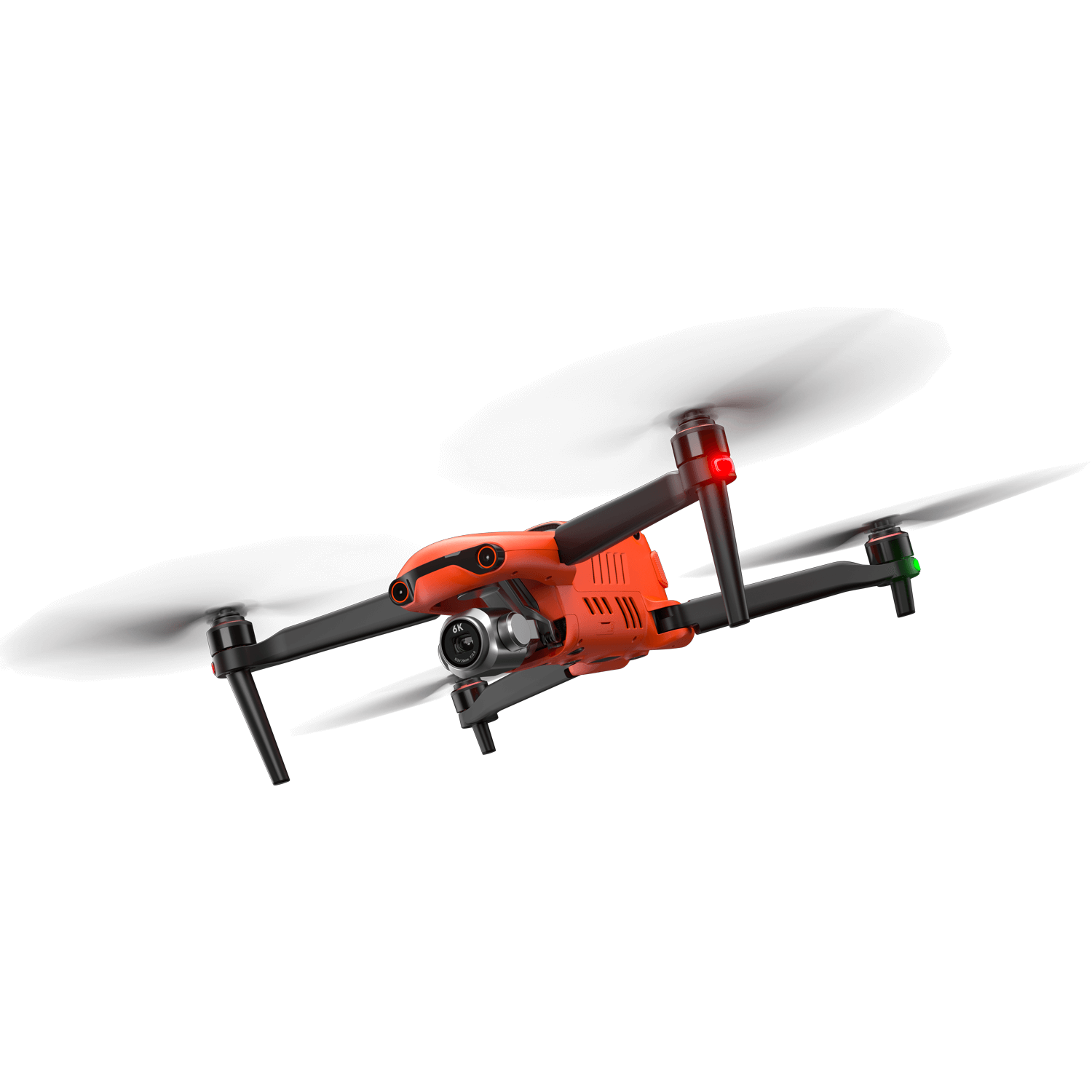
Autel Robotics EVO II Pro V3 Camera Drone
$1,999.00 USD
Shooting Parameters and Tips
The Autel EVO2 Pro V3 is an advanced photography drone that provides the foundation for optimal image quality, but learning more about camera movements, parameter adjustments, and aerial shooting techniques can further enhance your videos.
Camera techniques: low-altitude parallel push-in shot, slow ascent and pullback, 360° surround shot, golden hour time-lapse, diagonal crossover.
Optimal Time: 1 hour after sunrise or 1 hour before sunset (softest light, longer shadows, and most distinct layers)
Altitude Recommendation: 15-50 meters for main subject shots, 80-150 meters for panoramic views
Video Resolution: Prioritize 6K @ 30fps / 4K @ 60fps, balancing ultimate image quality and smoothness
Color Mode: 12-bit A-Log DNG format storage, preserving maximum post-processing latitude for highlights on water surfaces and shadows in dark areas
Exposure: Prioritize protecting highlights, appropriately reducing exposure compensation (-0.3 ~ -0.7)
White Balance: Manually adjust to find the optimal balance between brightness and lightness
ISO: 100 (fixed), maintaining image purity and avoiding noise interference
Shutter Speed: Follow the 180° rule (e.g., 30fps with 1/60s shutter speed), Use with an ND filter to maintain natural motion blur
Wind Speed Caution: Rice terraces are mostly located in mountainous areas; pay attention to airflow changes and maintain a low to medium flight speed.
Mountain Aerial Photography Safety Tips and Summary
Terraced fields are mostly distributed in mountains or valleys, and the complex geomagnetic environment and microclimate pose challenges to flight safety:
- Signal Obstruction: Mountains easily obstruct radio signals. The Autel EVO2 Pro V3 is equipped with the SkyLink 2.0 image transmission system, possessing strong tri-frequency anti-interference capabilities, ensuring stable and smooth footage even when traversing valleys with large elevation changes.
- Airflow and Battery Life: Valley winds are unpredictable. The Autel Robotics EVO II Pro V3 boasts a wind resistance of 10.7m/s and a long battery life of 40 minutes, allowing photographers to remain calm and confident when dealing with sudden mountain winds, and safely complete complex shots.
- Obstacle Avoidance Activated: High-voltage power lines and tall trees are often present around terraced fields. Ensure that omnidirectional visual obstacle avoidance is activated throughout the flight.
Conclusion
Terraced fields are a miracle of the earth and the interplay of light and shadow, and a high-performance drone can perfectly capture this miracle. With its 1-inch sensor, adjustable aperture, and excellent 12-bit color performance, the Autel EVO II Pro V3 has become an extremely reliable tool for aerial photography of landscapes and rice terraces.