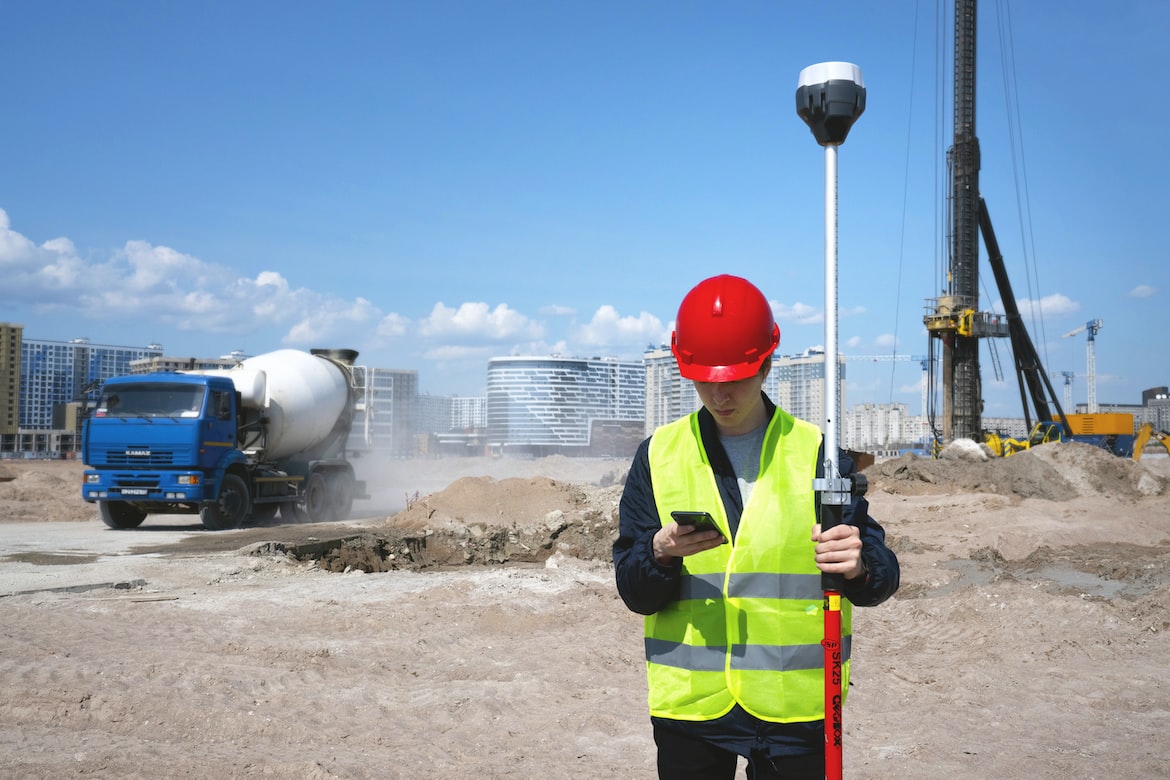
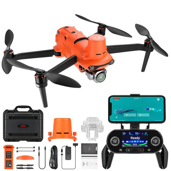
With the continuous upgrading of drone technology, people are more and more aware of the importance of commercial drones. With the help of commercial drones, many organizations and departments can be helped to complete efficient operations, and with the help of drones, they can fully respond to solutions.
RTK drones are one of the high quality and effective enterprise drones. Drone with RTK module can fully complete terrain survey, land area measurement and mapping tasks, and become one of the powerful and useful assistants. RTK search enables enhanced ground search accuracy.
Why can drones be used with RTK technology?

RTK technology can be used for distances up to 10 or 20 kilometers, yielding an accuracy of a few centimeters at the rover position, compared to 1 m achieved using code-based differential GPS. RTK is widely used in measurement applications due to its high accuracy in controlled environments.
Commercial drones choose to add RTK modules to the drone body. GNSS RTK on Autel drones can accurately calculate data about objects on the ground without any GCP.
According to related reports, in the experiments on forest canopy height and tree height, there was no statistical difference in the mean of the data reported by field measurements and drone estimates. Therefore, UAV-RTK imagery can be considered as a promising solution for measurement work in deep inaccessible areas.
Can PPK (NOT RTK) be done with any mapping drone?

Post-processing depends on raw GNSS data being captured (pseudo-ranges for Code post-processing, Phase information for Carrier post-processing.) If the drone has only captured coordinates, you don't have the necessary information for post-processing.
Not all GNSS receivers will supply raw GNSS measurement data (for example, some u-Blox models will supply measurement data, others will not), and even if the GNSS receiver is able to supply the measurement data your drone software would have to store this in order for it to be available for post-processing.
Features of Autel RTK Drones
The Autel EVO II RTK series provides users with a full range of intelligent features and solutions to meet a variety of mission needs.
Autel RTK drones can perform Waypoint, Rectangular, Polygon, Oblique missions. RTK drones can also perform Photo Replication, Omnidirectional Sensing & Obstacle Avoidance. High Precision RTK Module, Support PPK, Autel RTK drones are widely used for Public Safety, Firefighting, Photogrammetry.


