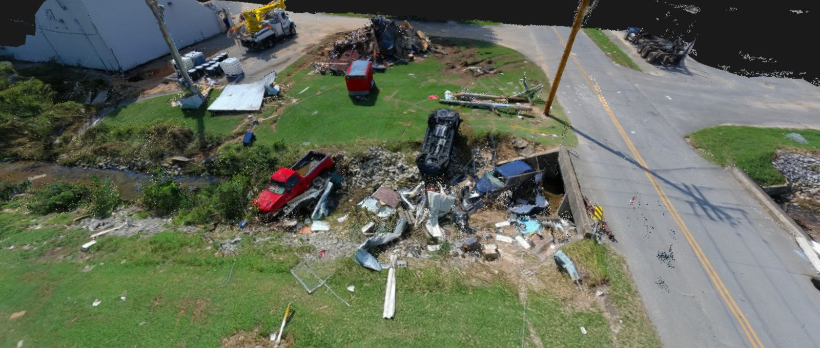
SkyeBrowse follows the continuous advancement of drone technology and launches 2D aerial mapping software. This service allows you to generate 2D maps from drone videos in minutes!
Drone startup SkyeBrowse, whose reality capture platform also allows DJI and Autel users to create precise 3D models with the push of a button, has launched a new upgrade to its proprietary software: Hyper.

Aimed at public safety agencies who need the highest clarity in the shortest time, SkyeBrowse Hyper is designed to create photorealistic 3D models in as little as 120 seconds.
Advanced aerial surveying and mapping analysis often requires drones with RTK modules to achieve centimeter-level precision mapping models, and the new concept of converting drone videos into 3D models is novel to drone users. Who is better?
Obtaining high-quality 2D maps is often a complex and costly process, and SkyeBrowse's video surveying technology significantly reduces time in the process of generating maps. However, the accuracy and precision of the model are insufficient for RTK drones.
RTK drones can adapt to a wider range of terrains and have more accurate measurement accuracy. If geographical surveying and mapping personnel want to use drones to obtain aerial photos and obtain accurate 2D/3D models, it will be more helpful to use RTK drones.
The Autelpilot store currently has EVO II Pro RTK drones and EVO II 640T RTK drones. The former has high-definition 6K aerial imaging, and the latter has 640*512 infrared thermal imaging. For geographical surveying and mapping, making 3D maps is of great benefit.


